Continents and Oceans
Important for Class 3
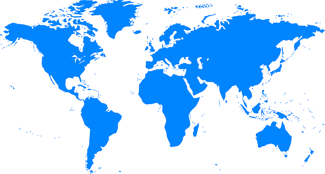
Continents
A very large area of land that consists of several countries is called a continent. There are seven continents in the world. The seven continents are Asia, Africa, North America, South America, Europe, Australia and Antarctica. India is in Asian continent.
Oceans
A very large body of water is called an ocean. The four main oceans of the world are the Pacific ocean, the Atlantic ocean, the Indian ocean and the Arctic ocean.
The Pacific Ocean is the largest ocean and the Arctic Ocean is the smallest ocean.
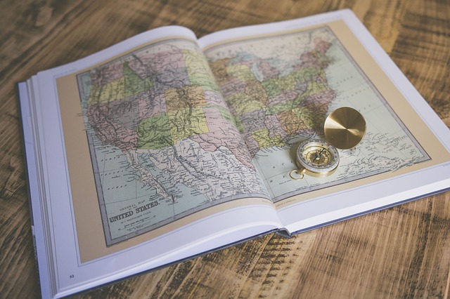
Continents and Oceans on Globes and Maps
As a globe always shows us the whole Earth, we can easily see Continents and Oceans on a globe. But it is not big enough to show all the places in detail.
A map can be big or small and it can show places on Earth in much detail. A map can be rolled and carried easily. That is why map is more useful than globe. In a map, top part of a map is always north, the bottom is south, the left is west and the right is east. Book of small maps showing parts of Earth is called an Atlas.
A. ANSWER THESE QUESTIONS.
- What is a continent?
- What is an ocean?
- Why is a map more useful than a globe?
- How do we find directions on a map?
- Define atlas?

B. FILL IN THE BLANKS.
- A ______ is a drawing of a part of the Earth.
- Comparatively smaller areas of water are called ______.
- The ________ Ocean is to the east of Africa.
- __________ is the smallest continent.
- North America is to the __________ of Europe.
If you like this chapter – Continents and Oceans for Class 3, please share among your friends on WhatsApp and Facebook.
[addthis tool=”addthis_relatedposts_inline”]